Plan a trip
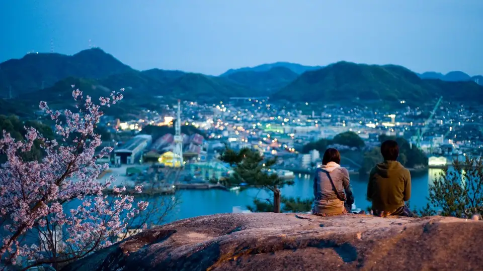
The places
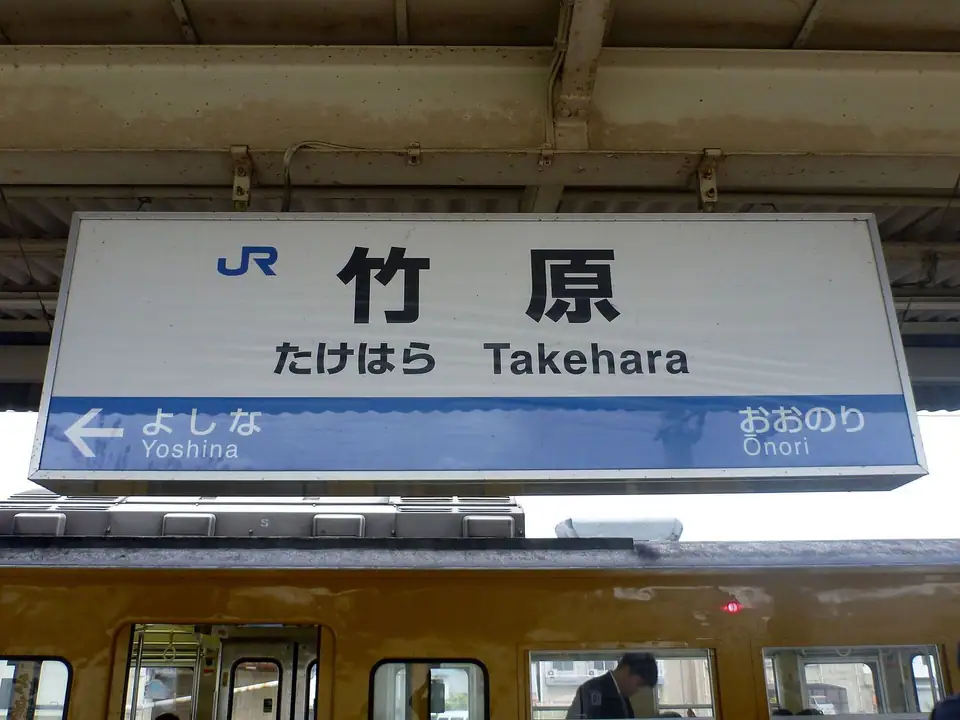
JR Takehara Station
Takehara, Hiroshima
The first stop on the official Tamayura pilgrimage map published by Takehara City and the Takehara Tourism Association. The station is where the series' visits to the town begin, and it is the start of the walk north into the preserved merchant quarter. It is on the JR Kure Line between Hiroshima and Mihara.
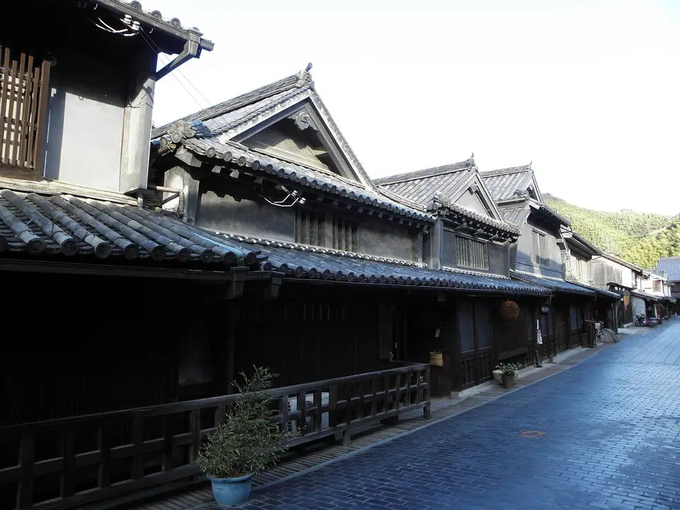
Takehara Preserved Historical District
Takehara, Hiroshima
A nationally designated preservation district of white-walled merchant houses built on Takehara's Edo-period salt and sake trade. The official Tamayura map puts several locations inside or beside it, including the Former Kasai Residence, Shoukei Plaza, Okakae Jizo and Ebisu-do. The streets are free to walk; individual houses keep their own hours, and one of them is closed to the public.
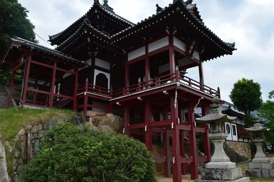
Saihoji Temple and Fumeikaku
Takehara, Hiroshima
A hilltop wooden pavilion above Saihoji, reached by a long stone stairway from the preserved district and said to be modeled on Kiyomizu-dera in Kyoto. The official Tamayura map names the temple steps as the setting used in the opening titles and the pavilion as the characters' gathering spot, with a view over the whole town. Visiting hours are given as roughly 8:00-18:00.
Isomiya Hachiman Shrine
Takehara, Hiroshima
A shrine on the Takehara waterfront, named on the official Tamayura pilgrimage map. It is a short walk east of the station on the way into the old town, and its grounds are open as an active place of worship. The map's other nearby stops include Mt. Chinkai and the Shinminato Bridge.